Posted on Saturday, October 11 2008 @ 20:17 CEST by Thomas De Maesschalck
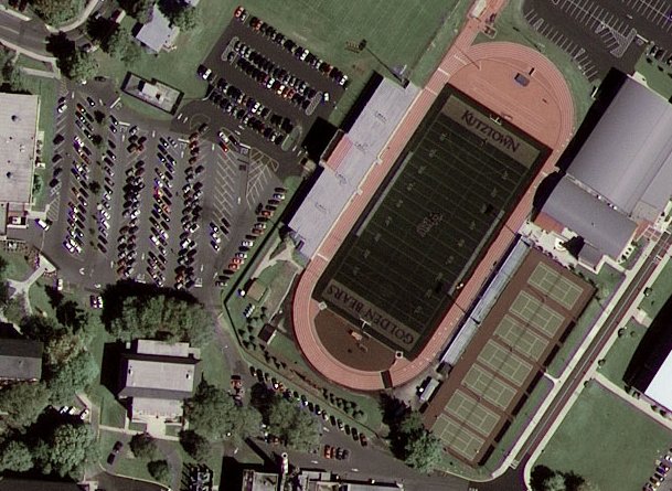
Here's a crop of the first image captured by GeoEye-1, a satellite that was partly sponsored by Google. Satellite images from this spacecraft will be used for Google Earth and Google Maps. You can check out more
over here.
This image of Kutztown University, Pennsylvania is the first image taken by GeoEye-1. It was collected on Oct. 7, 2008 from 423 miles in space as GeoEye-1 moved down the eastern seaboard of the United States.